西藏林芝黑颈鹤越冬地潜在威胁的模型分析
2018-08-21韩雪松郭玉民
韩雪松 郭玉民
(1 北京林业大学自然保护区学院,北京,100083)
黑颈鹤(Grusnigricollis)是中国国家Ⅰ级重点保护野生动物,被IUCN评为易危物种,列入CITES附录Ⅰ(http:∥www.iucnredlist.org/details/22692162/0)。同时,黑颈鹤也是全球15种鹤类当中唯一繁殖和越冬都在高海拔地区的物种,是青藏高原的特有鹤类[1]。因其在湿地生态系统中的指示作用及其保护行动中的旗舰作用[2-3],现在黑颈鹤的繁殖地及越冬地已开展了大量的科学研究及保护工作。其中,由于黑颈鹤在越冬期集群觅食夜栖的习性,相较于繁殖栖息地,现已基本查明其在青藏高原及周边湿地的越冬地,并已开展相应的监测及科研活动[3]。
西藏自治区作为黑颈鹤目前已知最大的越冬栖息地,为黑颈鹤种群提供了不可或缺的栖息地及生存资源[4]。据杨乐等(2016)在西藏“一江两河”流域的调查,约6000只黑颈鹤在西藏越冬于雅鲁藏布江中上游河谷以及拉萨河—彭波河谷地区[5]。2016~2017年,在对西藏东部雅鲁藏布江下游湿地进行调查时,发现在尼洋河与雅鲁藏布江汇合处的 “T” 型河谷地带有大量黑颈鹤越冬。在连续两年的观察记录基础上,本研究对该黑颈鹤越冬栖息地使用最大熵模型(MAXENT)进行分析,以明确其越冬栖息地选择偏好及潜在威胁来源。
1 研究方法
1.1 研究区域概况
研究区域位于西藏自治区林芝地区的尼洋河与雅鲁藏布江汇合处的 “T” 型河谷地带,N 29°7′44.4″~29°37′48″,E 93°59′9.6″~94°46′33.6″。野外观察中注意到黑颈鹤在研究区域内主要集中分布于4个地区,即(A)米林县城—米林机场,(B)米林机场—雅尼汇口,(C)林芝市—雅尼汇口,以及(D)雅尼汇口—米瑞乡(图1),江面水位在2920~2960 m之间。
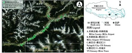
图1 研究区域以及黑颈鹤实际分布位点Fig.1 Study area and empirical distribution sites of the black-necked crane
1.2 物种分布及环境数据的收集
野外工作开展于2016年2~3月以及2017年2~3月间。在对黑颈鹤进行观察时,在每一个样点使用20倍单筒望远镜进行直接观察及计数[6],与此同时对6只个体开展卫星跟踪工作。本研究所用跟踪器型号为HQBP3221(湖南环球信士公司),可以提供包括经纬度、海拔、速度、航向以及数据精度等信息。在完成跟踪数据的回收后,使用黑颈鹤的实际跟踪数据来建立物种分布模型,以此对其越冬栖息地选择偏好进行分析[7]。在对黑颈鹤的栖息地进行分析时,本研究仅使用速度为0且位点误差<10 m的点[8]。
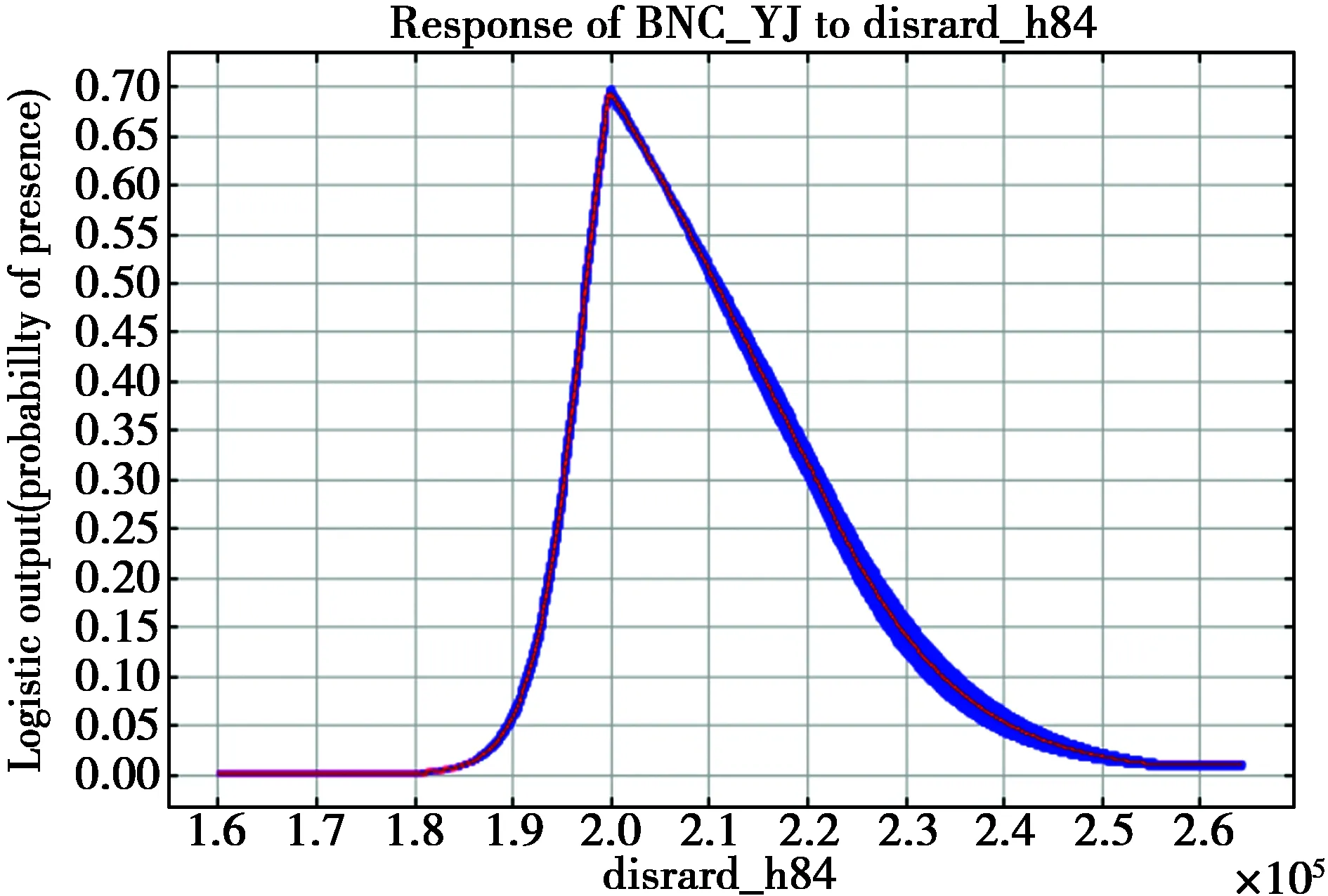
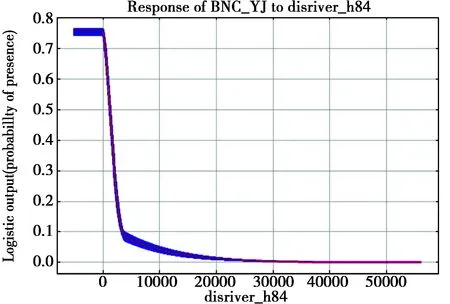
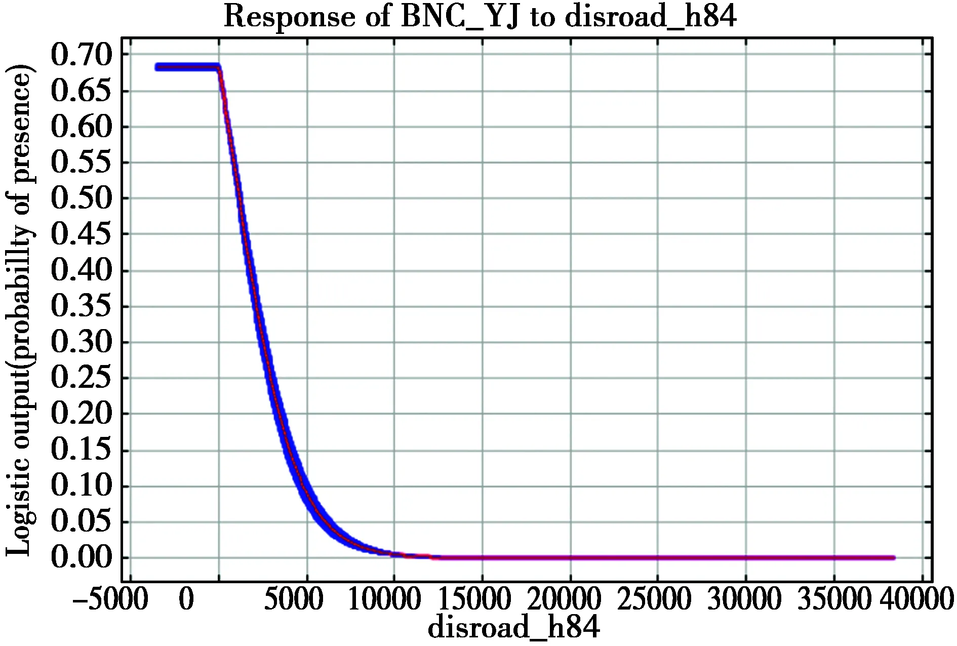
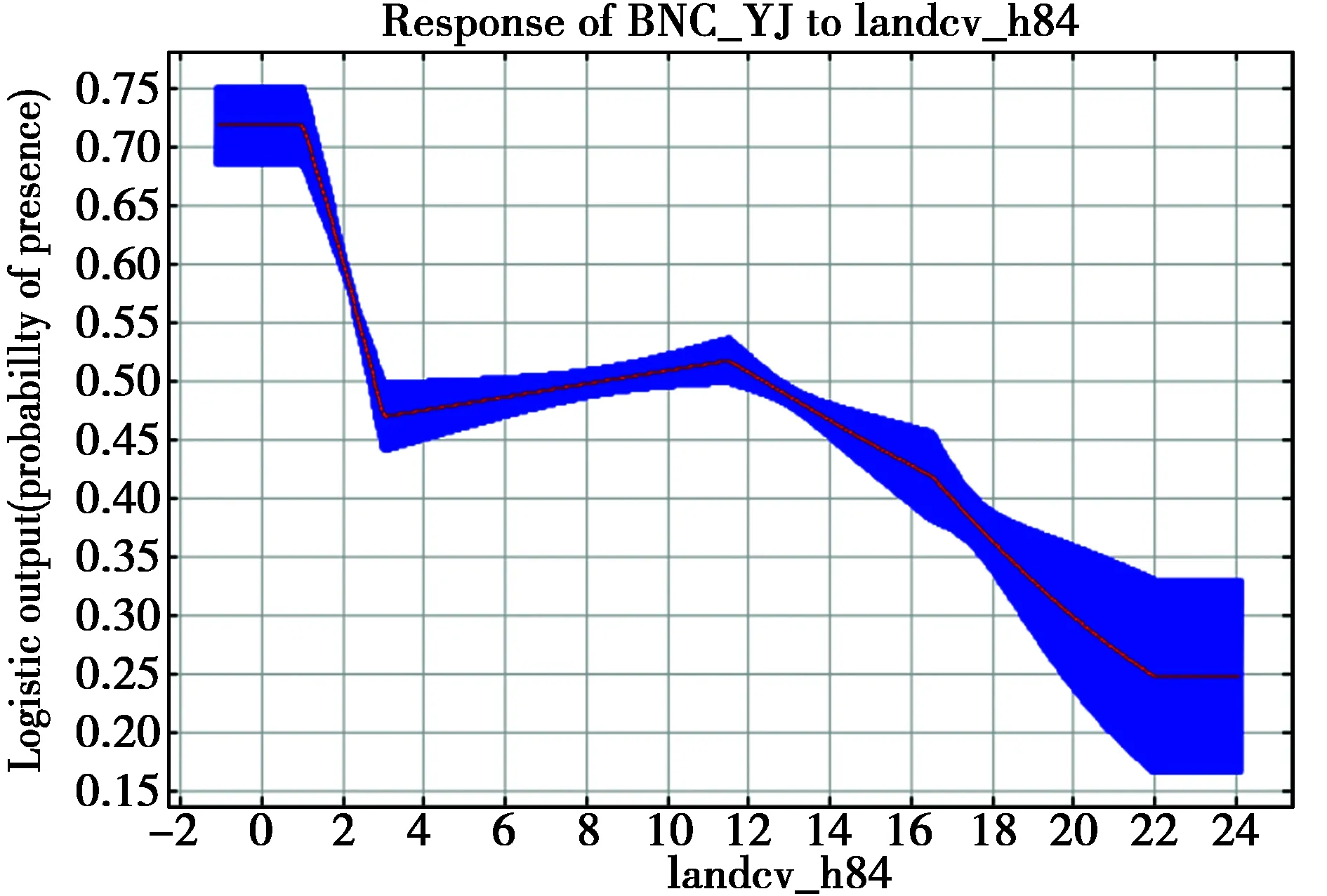
本研究通过公共数据平台共获得29个环境变量,其中包括19个生物气候变量[9](下载于Bioclim 1.4 数据库,www.wordclim.org),6个地理地形变量(http:∥www.naturalearthdata.com/),3个人类活动相关变量以及土地利用类型(http:∥www.esa-landcover-cci.org)。使用R软件对所有环境变量进行Spearman Test测试并去除相关性较高的变量(|r|>0.9)[10]。最终保留的环境变量包括12个生物气候变量(Bio1-Bio6,Bio8,Bio9,Bio12,Bio14,Bio15,Bio17),5个地理地形变量(海拔,坡度,坡向以及距离河流,湖泊距离),2个人类活动相关变量(距离道路,铁路距离)以及土地利用类型。
1.3 物种分布模型及潜在威胁分析
本研究使用MAXENT模型来对黑颈鹤在研究区域内的越冬栖息地进行分析。首先,在ArcGIS 10.1软件中对物种分布数据以及环境数据进行处理。某一区域过于密集的物种分布数据可能会影响到模型对于训练数据的分析[7]。因此,本研究首先使用ArcGIS对收集到的卫星跟踪数据进行降密度操作以避免跟踪数据间存在的空间自相关(每平方千米内仅保留1点)[11-12],并最终从来自于6只跟踪个体共计5038个误差小于10 m的实际分布位点(图1)中保留89个位点,作为模型建立的训练数据。对环境数据进行处理,最终获得20个范围相同,分辨率为1000 m的环境变量图层。
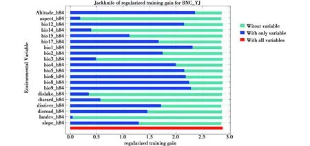
使用WGS 1984投影,在Maxent 3.3.3k(http:∥www.cs.princeton.edu/~schapire/maxent/)中对研究区域中黑颈鹤的越冬栖息地进行分析。在模型设置上,设定最大交互作用数为500[13],使用软件对于正则化值的自选择[14],并使用5次重复以及交叉验证来获得最接近于真实情况的结果[15]。此外,使用Jack-knife获得变量的重要性排序以及相应的响应曲线[16]。在对模型表现进行评价时,使用Receiver Operating Characteristic(ROC)Curve对模型在训练数据上的表现进行评价(以曲线下面积—Area under the Curve,AUC—作为评判的参数)[17]。此外,使用未用来训练模型的跟踪位点作为验证数据集,以此评价模型对物种真实分布数据的模拟能力[18]。
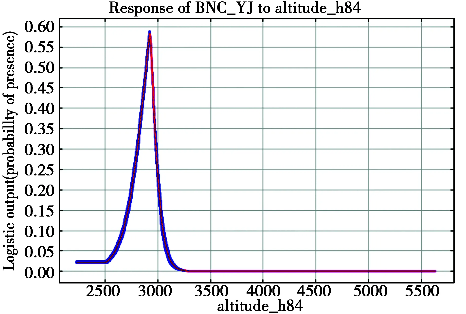
依据MAXENT模型生成的变量重要性排序获得影响研究区域内黑颈鹤栖息地选择的最关键环境因子(海拔),并通过相应变量响应曲线明确其对变量的选择偏好。黑颈鹤多于不没过跗间关节的浅水处栖息[19],因此在本研究中,黑颈鹤对于某一高度海拔的偏好(2920 m)实际上是反映了其对研究区域内当前水位的选择。基于此,本研究以5 m作为水位变化梯度,分析研究区域内关键环境因子变化时黑颈鹤越冬栖息地的受胁情况。
2 结果与分析
2.1 野外观察结果
两年的野外调查中分别记录到460只及527只黑颈鹤个体,全部位于在雅鲁藏布江及尼洋河河道沙洲以及两岸沿江狭窄分布的农田中(图2)。卫星跟踪数据表明黑颈鹤在研究区域中分布于(A)米林县城—米林机场,(B)米林机场—雅尼汇口,(C)林芝市—雅尼汇口以及(D)雅尼汇口—米瑞乡4个地区,此外并无其他越冬栖息地(图1)。在黑颈鹤的越冬群体中,同时夹杂有少数越冬的灰鹤(Grusgrus)个体(图2)。在幼鸟的数量上,2016及2017年分别为40只和35只,幼体新增率(Recruitment rate)分别只有8.64%和6.64%。研究区域黑颈鹤种群数量统计见表1。
表1 研究区域野外观察黑颈鹤数量统计
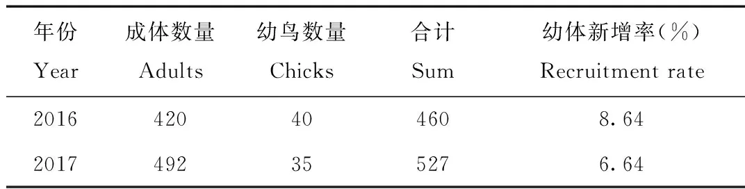
Tab.1 Population counts of the black-necked crane recorded in the field work
2.2 MAXENT模型表现及预测结果
使用跟踪数据建立的MAXENT模型AUC值为0.978,证明该模型对训练数据集具有很好的判别能力(discrimination ability)[20-21]。同时,验证数据集的相对出现概率中位数为0.794,证明该模型可以准确预测黑颈鹤在研究区域内的分布[18]。
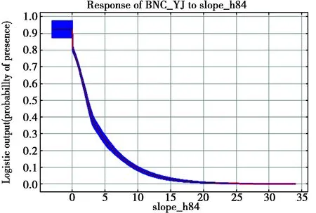
MAXENT模型预测结果如图3。同野外观察及卫星跟踪结果相一致,黑颈鹤在研究区域中主要分布于河道沙洲及两岸农田中,并无其他潜在栖息地。适宜栖息地总面积131.98 km2,越冬黑颈鹤种群密度为3.99只/km2。环境变量重要性的分析表明,海拔为影响研究区域内黑颈鹤越冬栖息地选择的最关键环境因素(重要性为49.7;图3)。海拔的变量响应曲线表明在研究区域内,黑颈鹤主要越冬于海拔在2920 m左右的地区(所有环境变量响应曲线请见附件1)。
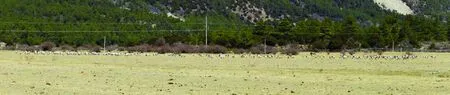
图2 研究区域农田中觅食的大群黑颈鹤及灰鹤Fig.2 Black-necked and common cranes foraging in the croplands within the study area
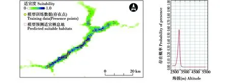
图3 MAXENT模型预测结果及重要变量(海拔)响应曲线Fig.3 MAXENT prediction map and the response curve for the most important variable(Altitude)
2.3 关键环境因子改变对研究区域内黑颈鹤越冬地的影响
将不同高度水位以下地区同黑颈鹤预测存在栖息地相叠加,结果如图4所示。结果表明,当研究区域内水位由当前高度(2920 m)升高至2925 m,黑颈鹤的预测越冬栖息地面积将由当前的131.98 km2减少至71.83 km2,仅为原先的54.42%;随后,当水位以5 m为单位上升,栖息地面积将仅剩余56.38 km2(42.72%),41.86 km2(31.71%),29.47 km2(22.33%),19.61 km2(14.86%);当水位上升至2950 m时,研究区域内黑颈鹤栖息地面积将减少120.06 km2,仅为当前栖息地面积的9.03%(图4)。
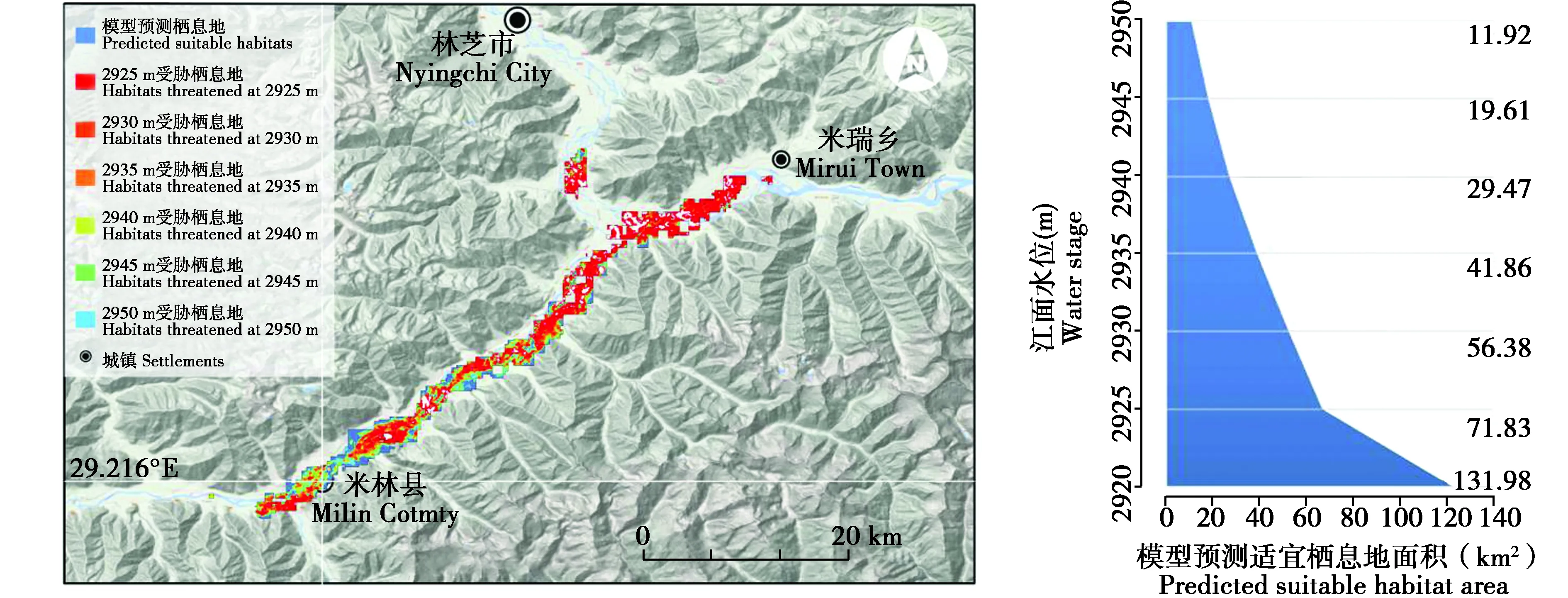
图4 水位变化对黑颈鹤越冬栖息地的影响Fig.4 Impact from water stage variations on the wintering habitats of the black-necked crane
3 讨论
3.1 林芝黑颈鹤种群的特殊性和重要性
目前,黑颈鹤主要越冬于贵州西北部,云南西北部及东北部,西藏自治区的南部,以及不丹[19]。在西藏自治区,以往研究认为黑颈鹤主要越冬于“一江两河”地区,即雅鲁藏布江中游河谷以及其支流拉萨河,年楚河流域[22-23],而位于西藏东部林芝地区的尼洋河流域仅“有少量的越冬鹤”[23]。本研究野外调查当中,在该地区记录到不少于527只黑颈鹤越冬个体,约占其全球种群的5%,适宜分布区内越冬种群密度为3.99只/km2,证实该地区为黑颈鹤一重要越冬栖息地。同时,根据《国际重要湿地鉴定标准》中“基于水禽的特定指示标准”——“正常情况下维持某一水禽物种或亚种之1%个体数量的湿地”,黑颈鹤在研究区域内庞大的越冬种群实际上已使得该湿地满足国际重要湿地标准。 此外,在该越冬种群的年龄结构上,两年来种群总体数量增多但幼鸟数量反而减少,幼体新增率分别为8.64%及6.64 %。据Johnsgard(1983),10%~15%之间的幼体新增率可作为某一鹤类越冬种群健康程度的衡量标准[24]。根据调查结果,研究区域内越冬黑颈鹤种群幼体新增率尚不足该标准下限且仍在降低,这抑或预示着在其相对应的繁殖栖息地,迁徙停歇地以及越冬栖息地,黑颈鹤可能面临着较为严重的威胁。
吴志康等(1993)根据当时已有的少数几笔环志纪录推测黑颈鹤在青藏高原可能存在3条迁徙路线[25],而这一推断也得到了之后工作的证实[26-29]。 截至目前,尚未见有关于不同地理种群黑颈鹤个体交流的报道。因此,至少目前看来,每一迁徙路线上的黑颈鹤地理种群都具有其独特性,某一特定地理种群的丧失所造成的生态位空缺并难以通过其他种群的汇入而得到补充,都将对黑颈鹤这一物种的遗传多样性造成破坏。本研究所报道的黑颈鹤越冬种群在地理上介于西部和中部种群之间,其抑或为一独立的种群,基础研究资料匮乏,关于其迁徙路线以及相应繁殖栖息地的研究亟待开展。
3.2 潜在威胁及保护
物种分布模型结果表明,海拔为研究区域内影响黑颈鹤越冬栖息地选择的最重要因素。根据野外调查,黑颈鹤在研究区域内主要觅食于尼洋河及雅鲁藏布河道的沙洲及岸边的农田内,并将水流平缓的岸边作为夜栖地(图2)。因此,由于气候变化或人类活动所引起不同程度的水位上升将会威胁该黑颈鹤越冬种群的生存。此处需要注意的是,水位的升高对于研究区域内黑颈鹤越冬栖息地的影响并不仅限于栖息地在景观上的直接缩减。在野外调查中注意到,在该地区黑颈鹤主要以河谷中耕地内收割后的剩余农作物作为主要的食物来源(青稞,玉米等)。 水位的上升会使得部分或全部耕地被水淹没,使得研究区域内的黑颈鹤越冬种群适合度降低,并最终可能因食物的匮乏而减少直至消失。另外,黑颈鹤主要在平缓河流或湖泊边不没过跗间关节的浅水处夜栖[19]。因水位上升而拓宽的江面将使得原本狭窄的沙洲及河岸向后退缩,最终因距离山体或居民点距离过近造成适宜夜栖地的丧失。由模型预测结果可见(图3),米林机场(图1中A,B段之间)的修建已侵占了黑颈鹤适宜越冬栖息地,将其排挤至周边的沙洲及岸边觅食及夜栖。未来,相比于由气候变化所引起的水位上升,人工提高水位——特别是永久性地提高水位——将会迅速地对黑颈鹤的越冬栖息地造成不可逆转的破坏,使其永久性地丧失适宜的觅食地及夜栖地。
综上,在林芝地区的尼洋河与雅鲁藏布江汇合处的 “T” 型河谷地带存在大量黑颈鹤越冬(约占其全球种群数量的5%),主要分布于该地区海拔在2920 m左右的沙洲及江岸农田。鉴于该越冬栖息地生境狭窄的特殊性,因气候变化或人类活动而引起的水位上升将直接对黑颈鹤该越冬种群的生存产生严重的影响。
致谢:感谢国家林业局的资金和政策支持,林芝林业局的后勤保障,以及米林林业局和工布江达林业局在野外调查中给予的现场协助。
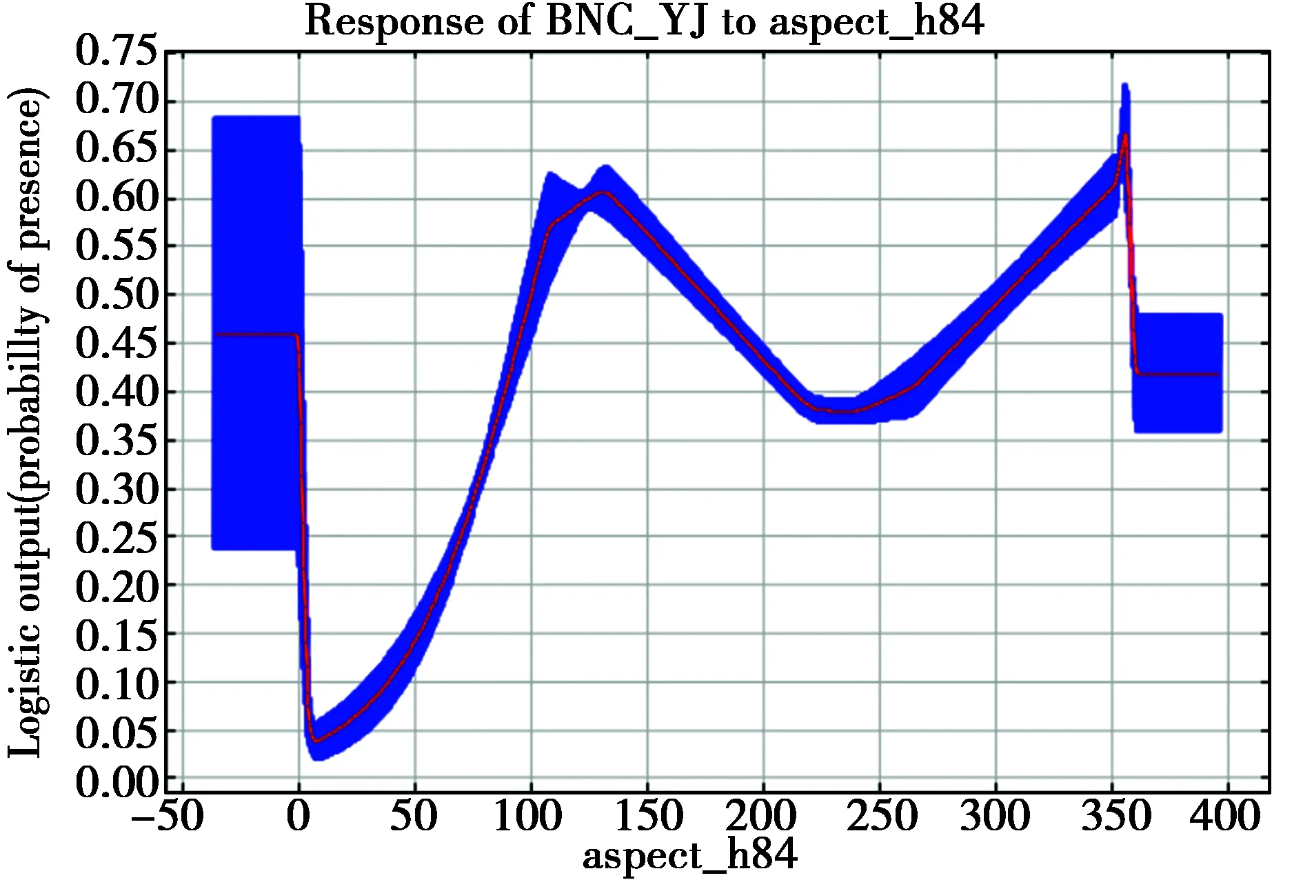
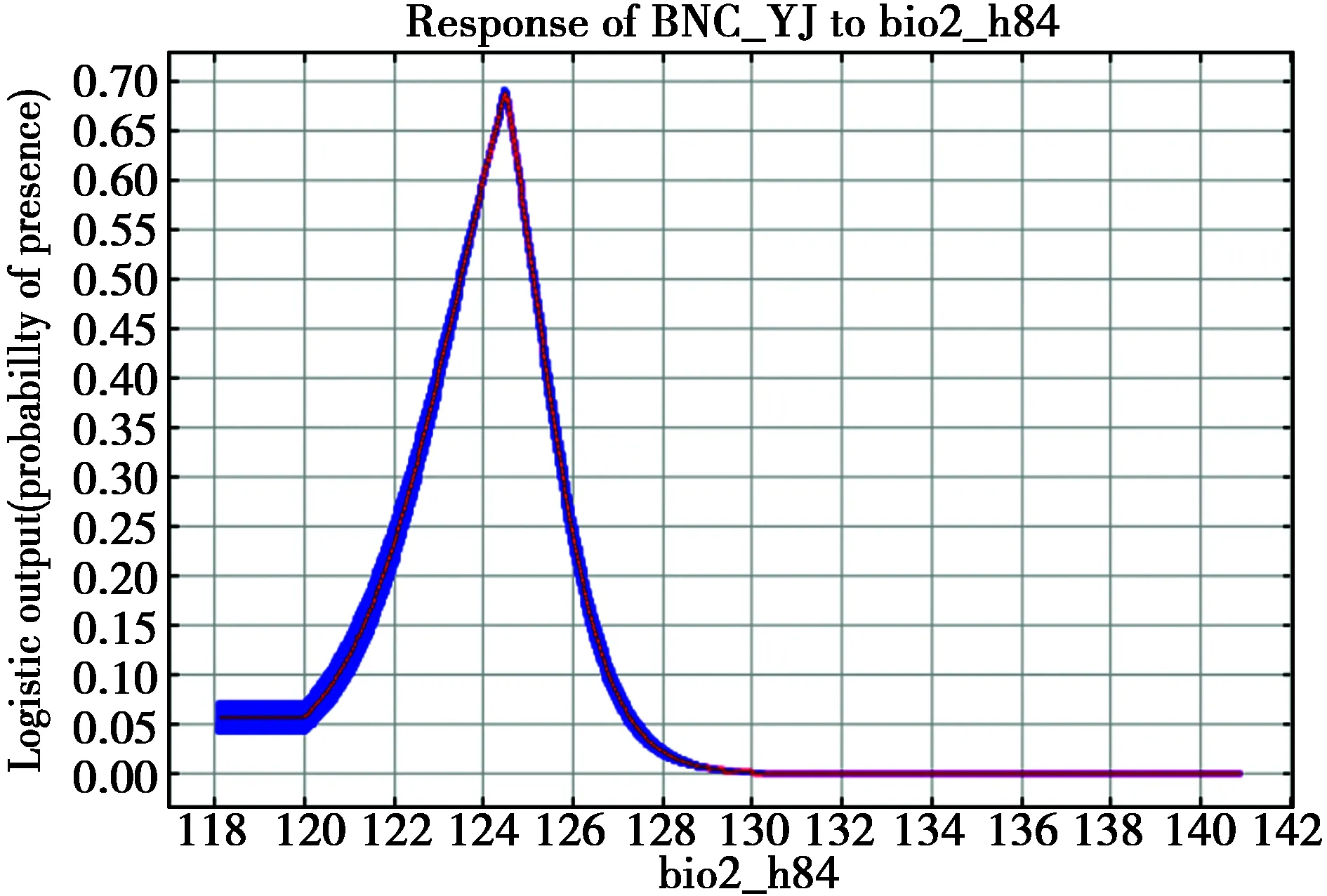
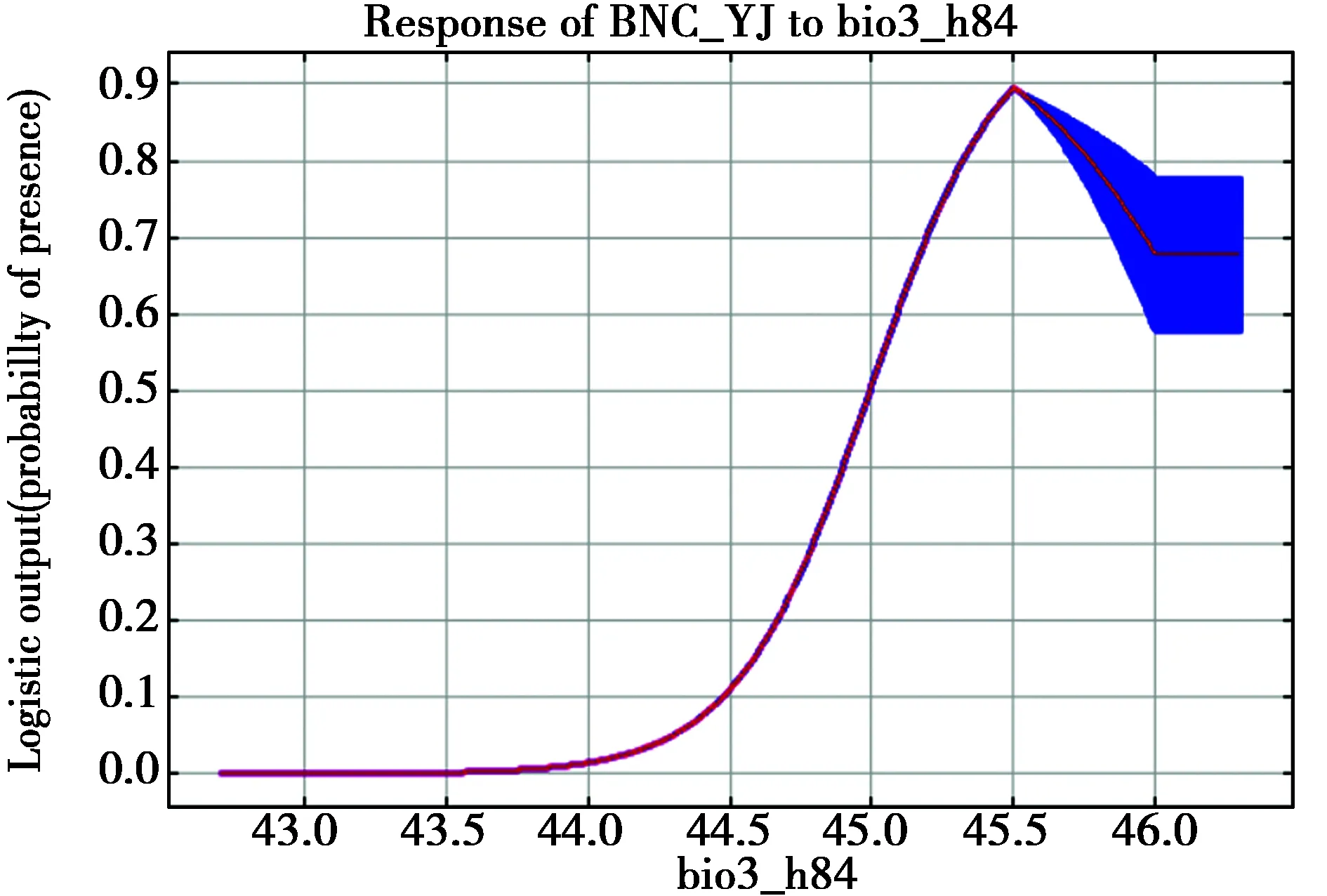
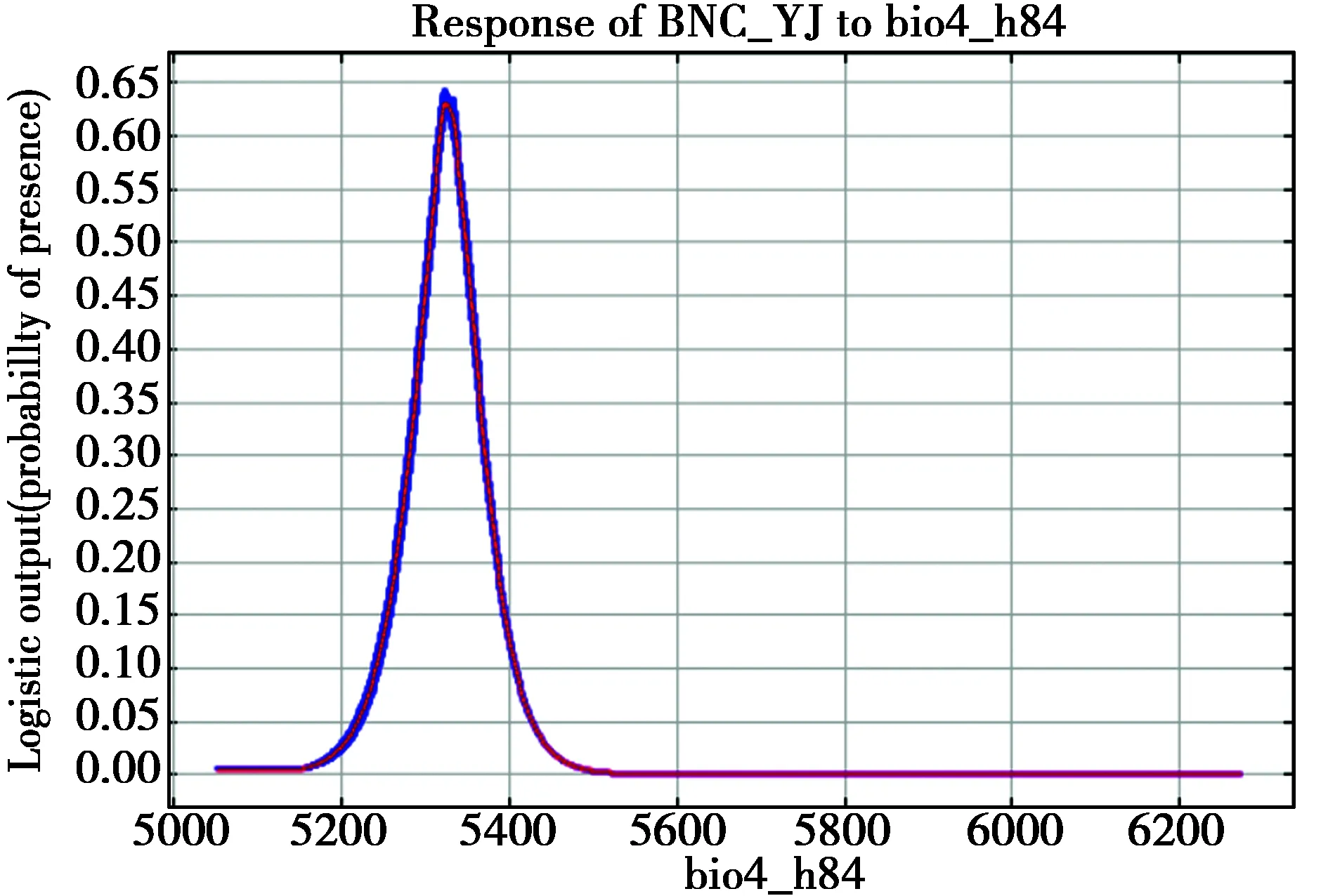
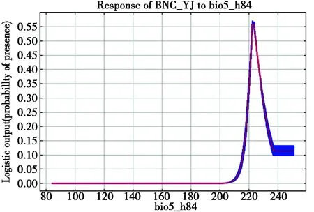
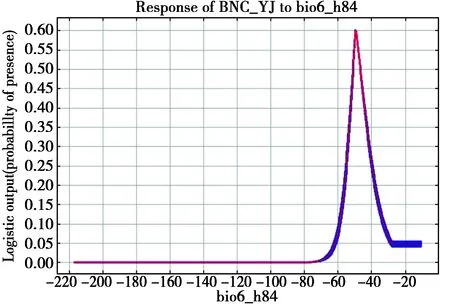
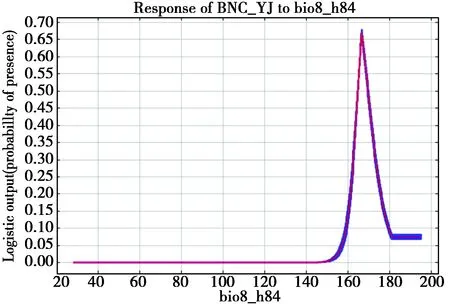
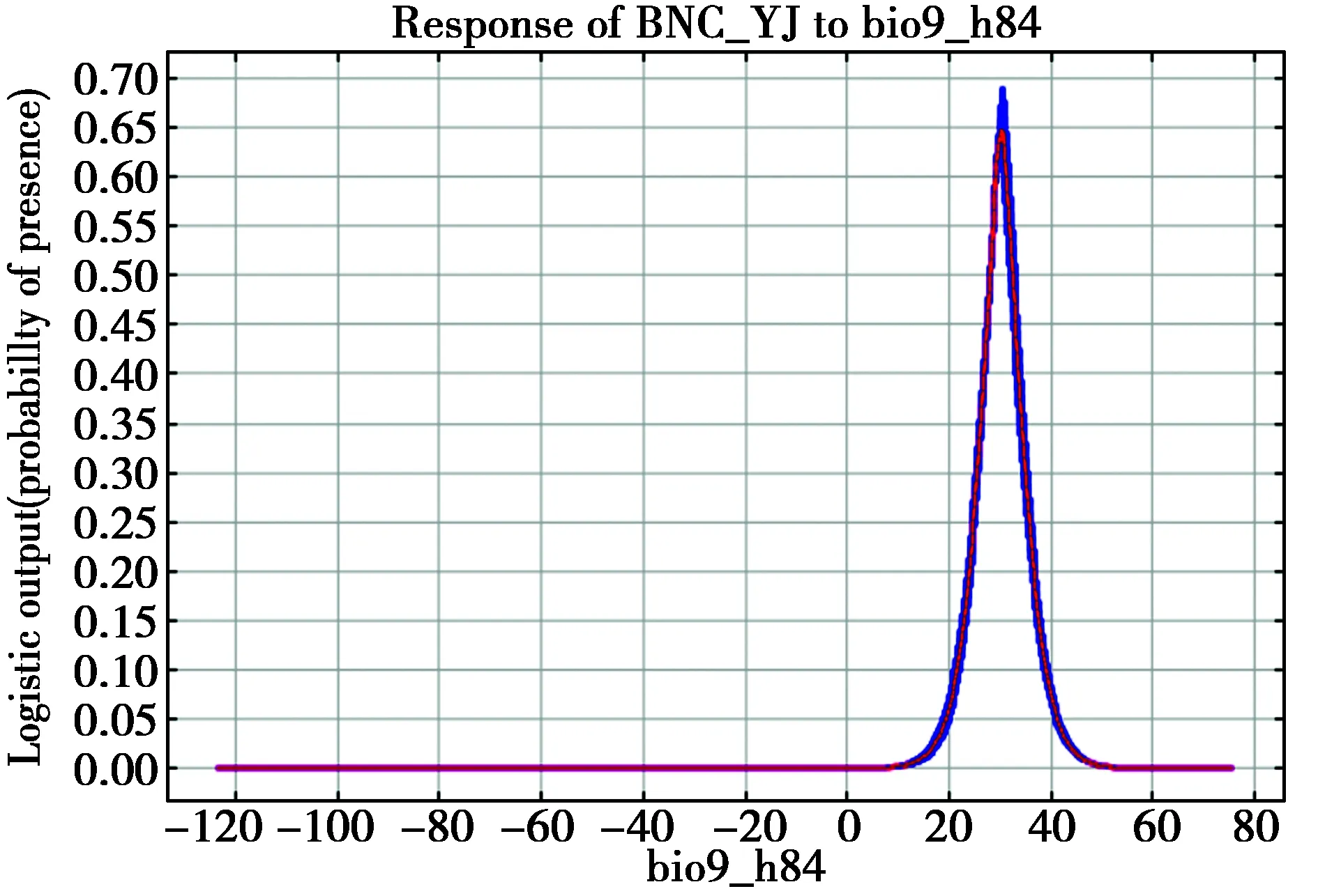
附件1环境变量重要性排序及响应曲线
Appendix 1 Variable importance and response curves for all the predictors
变量重要性排序
Variable importance rankings
变量响应曲线
Response curves
1.Altitude
2.Aspect
3.Bio_1

4.Bio_2
5.Bio_3
6.Bio_4
7.Bio_5
8.Bio_6
9.Bio_8
10.Bio_9
11.Bio_12
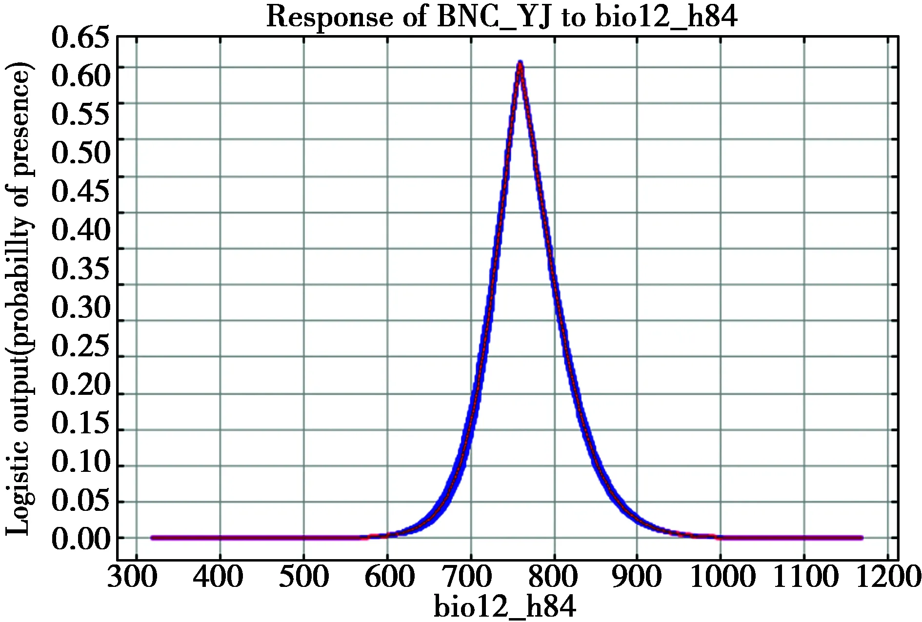
12.Bio_14
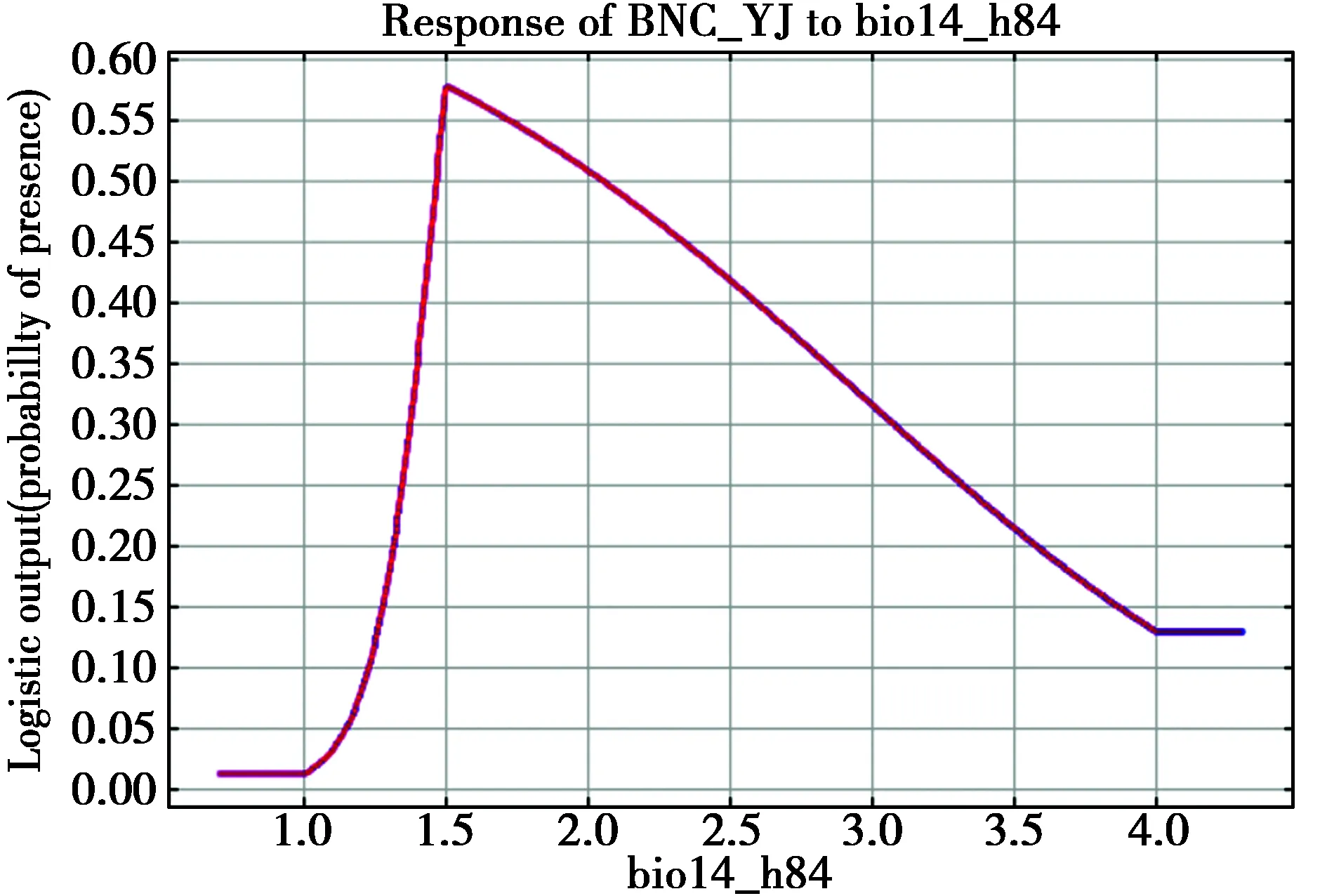
13.Bio_15
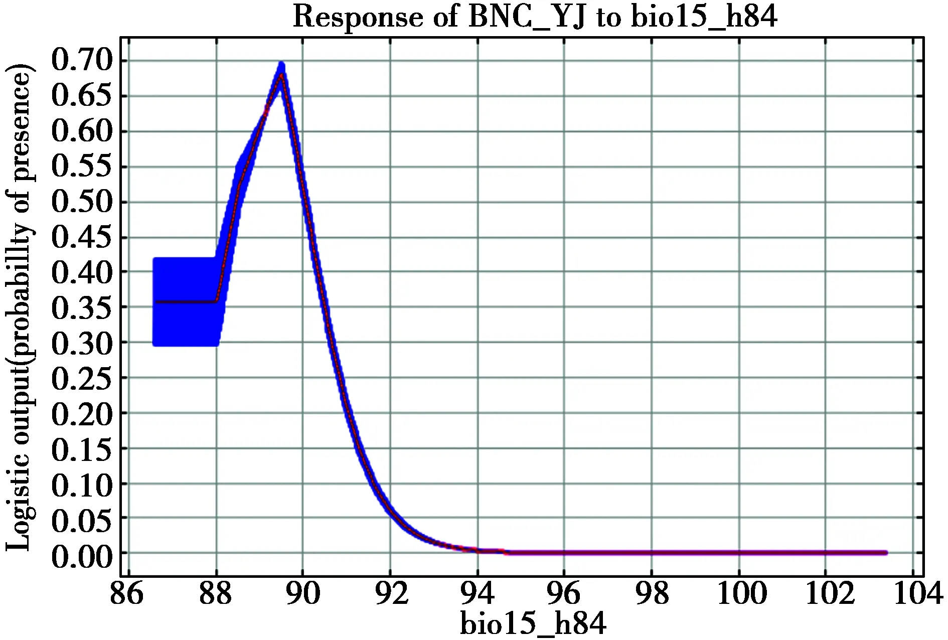
14.Bio_17
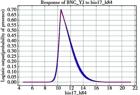
15.Dislake

16.Disrard
17.Disriver
18.Disroad
19.Landcv
20.Slope
The black-necked crane(Grusnigricollis)is the National First Class Protected Animal in China,and it is also evaluated as Vulnerable by IUCN and is listed in CITES Appendix I(http://www.iucnredlist.org/details/22692162/0).Meanwhile,endemic to the Tibetan Plateau,the black-necked crane is also the only crane species that breeds and winters in alpine landscape[1].Because of its environment-indicating and flagship effects in plateau wetland ecosystem and associated conservation actions[2-3],many research and conservation efforts have been made in both its breeding and wintering grounds[3].
Serving as the largest known wintering grounds,the Tibetan Autonomous Region provides the black-necked crane with irreplaceable habitats and living resources[4].According to the investigations conducted in the drainage area of Yarlung Zangbo and its two branches,approximately 6000 black-necked cranes winter in the valley of the upper reach of the Yarlung Zangbo and Lhasa-Pengbo river valley[5].2016-2017,when investigating the lower reach drainage of the Yarlung Zangbo,we recorded a large number of the black-necked crane wintering in the T-shaped region at the estuary of the Yarlung Zangbo and Nyang River.Based on our two-year field observation,we employed the MAXENT model to analyze the wintering habitat of this regional population of the black-necked crane,and further identified its habitat selection preference and potential threats.
1 Methods
1.1 Study Area
The study area is located at the T-shaped region at the estuary of the Yarlung Zangbo and the Nyang River(abbreviated as YN Estuary),N 29°7′44.4″-29°37′48″,E 93°59′9.6″-94°46′33.6″.In our fieldwork,we noticed that within the study area,the black-necked crane mainly winters in four regions with water stages between 2920-2960 m,namely(A)Milin County-Milin Airport,(B)Milin Airport-YN Estuary,(C)Nyingchi City-YN Estuary,and(D)YN Estuary-Mirui Town(Fig.1).
1.2 Species and Environmental Data Collection
Fieldwork was conducted during February to March of 2016,2017.Monocular(x20)was used to observe and to count the black-necked cranes[6].During our fieldwork,six individuals were also captured and tagged with GPS-GSM transmitters(HQBP3221 from Hunan Global Messenger Technology Co.,Ltd),which could provide information including latitude,longitude,speed,direction,precision,etc.Distribution data collected from the transmitters was used in the Species Distribution Model(SDM)construction to analyze the wintering habitat selection preference of the black-necked crane[7].In this study,only still distribution points with a precision within 10 meter were employed in model construction[8].
When building the SDM,twenty-nine environmental variables were downloaded from public Open Access sources,including 19 Bioclimate variables(Bioclim 1.4 Database,www.wordclim.org)[9],six geographic variables(http://www.naturalearthdata.com/),three anthropogenic variables and land cover status(http://www.esa-landcover-cci.org)[8].After removing variables that are highly correlated(|r|>0.9)[10],twenty variables were retained as predictors,including 12 Bioclimate predictors(Bio1-Bio6,Bio8,Bio9,Bio12,Bio14,Bio15,Bio17),five geographic predictors(Altitude,Slope,Aspect and Distances to rivers and lakes),two anthropogenic predictors(Distances to roads and railroads),and Land Cover Status.
1.3 Species Distribution Model Construction and Potential Threat Analysis
In this study,we used the MAXENT model and 1000-meter resolution to analyze the wintering habitat of the black-necked crane in the study area.To avoid the influence from the spatial autocorrelation existing in the tracking data,we chose 89 points from 5038 collected distribution points as training dataset by maintaining one point every one squire kilometer[7,11-12].
Using WGS 1984 projection,we built the MAXENT model in the Maxent 3.3.3k(http://www.cs.princeton.edu/~schapire/maxent/).In model settings,we set the maximum number of interactions to 500[13],and we also used software’s automatic selection for regularization values[14]and cross-validation with five replicates[15].Moreover,Jack-knife was used to obtain the variable importance and associated responding curves[16].For model assessment,we used Receiver Operating Characteristic(ROC)Curve to evaluate model’s performance on the training data,which is usually indicated by the Area under the Curve(AUC)[17].Moreover,we used those remaining distribution points as testing data to evaluate model’s accuracy in predicting the potential wintering habitats of the black-necked crane[18].
Based on the variable importance rankings created by the MAXENT,we identified the most influential factor in the wintering habitat selection of the black-necked crane in Nyingchi(which is Altitude),and further determined its influence mechanism via the associated response curve.The black-necked crane is known to roost in the shallow and calm water beneath tarsus[19],therefore in this case,the preference for particular altitude(2920 m)of the cranes is actually its selection to the current water stage in the study area.Based on these facts,by selecting a proper gradient(5 m),we analyzed the wintering habitats of the black-necked crane under the changing critical environmental variable.
2 Results
2.1 Field Observation and Population Counting
In 2016 and 2017,respectively 460 and 527 black-necked cranes were recorded in the sandbanks and croplands in/along the Yarlung Zangbo and Nyang River(Fig.2).GPS-GSM tracking data showed that in the study area,the black-necked crane are mainly distributed in(A)Milin County-Milin Airport,(B)Milin Airport-YN Estuary,(C)Nyingchi City-YN Estuary and(D)YN Estuary-Mirui Town,which is accordant with our field observations(Fig.1).Among the wintering flocks of the black-necked crane,some Common Crane(Grusgrus)were also recorded to forage and roost(Fig.2).With respect to the breeding status,40 and 35 chicks were recorded in 2016 and 2017,with the recruitment rate only at 8.64% and 6.64% respectively(Table 1).
2.2 Model Performance and Prediction
The AUC of the MAXENT was 0.978,which showed an excellent discrimination ability of the model[20-21].Meanwhile,the medium of our test dataset is 0.794,further proving that the model could accurately predict the crane’s distribution within the study area[18].
Model prediction is presented in Fig.3.In accordance with our field observations and GPS-GSM tracking results,the black-necked crane is predicted to distribute in the sandbanks within the river and croplands along the river.The suitable wintering habitats of the black-necked crane is predicted to be 131.98 km2,with a population density at 3.99 individuals every squire kilometer.The variable rankings indicated that Altitude is the most critical factor in the wintering habitat selection of the black-necked crane(variable importance at 49.7),and its response curve indicated that within the study area,the black-necked crane mainly winter in the lands with an elevation at 2920 m(Fig.3;response curves for all the predictors were presented in Appendix 1).
2.3 Impact from the Changing Environment on the Wintering Habitats
At first,we created layers of remaining land under various water stages,and then we overlaid them with the predicted suitable wintering habitats of the black-necked crane(Fig.4).The results showed that when water level rises from current stage(2920 m)to 2925 m,the wintering habitats of the black-necked crane would decrease from current 131.98 km2to 71.38 km2,only accounting for 54.42% of the original habitat area.If water stage continues to rise by five meters,the wintering habitats of the black-necked crane will only remain as 56.38 km2(42.72%),41.86 km2(31.71%),29.47 km2(22.33%),19.61 km2(14.86%);and when the water stage reaches 2950 m,the available and suitable wintering habitats will decrease by 120.06 km2(9.03%;Fig.4).
3 Discussion
3.1 Significance of the Regional Population of the black-necked crane in Nyingchi
At present,the black-necked crane mainly winters in NW Guizhou,NW and NE Yunnan,S Tibet and Bhutan[19].In Tibet,the black-necked crane previously was believed to winter in the drainage area of Yarlung Zangbo and its two branches,Lhasa and Nyanchu rivers[22-23].Whereas in the drainage of the Nyang River,the number of the crane is only reported to be “a few”[23].In our fieldwork,overall 527 wintering individuals of the black-necked crane got recorded(accounting for approximately 5% of its global population),which has sufficiently proved that this region is actually serving as a significant and irreplaceable wintering grounds for this species.Meanwhile,according to the “Specific criteria based on waterbirds” in the The Ramsar Sites Criteria-“A wetland should be considered internationally important if it regularly supports 1% of the individuals in a population of one species or subspecies of waterbird”,the abundance of this regional population of the black-necked crane has actually proven the qualification of this wetland to be a RAMSAR site.Moreover,with respect to the age structure,the number of chicks of this regional crane population is decreasing,whereas the overall population size is enlarging-recruitment rate of 2016 and 2017 is only 8.64% and 6.64% respectively.Johnsgard(1983)indicated that a recruitment rate between 10%-15% could be used as a criterion to judge the health of crane population[24],we may thus infer that the relatively low and still decreasing recruitment rate is perhaps resulted from its threatened breeding habitats or migration routes.
Wu et al(1993)determined three separate regional population and associated migration routes for the black-necked crane[25],which have been confirmed by following research[26-29].The population reported in this research is discovered between the western and middle population of the black-necked crane geographically,which is highly likely to be another separate population,and the loss of it will jeopardize the genetic diversity of the whole species.More attentions and efforts should be paid to its poorly studied wintering,migration and breeding ecology.
3.3 Potential Threats and Conservation Suggestions
Our SDM showed that Altitude is the most critical factor in determining the wintering habitats of the black-necked crane in the study area(Variable Importance at 49.7).For this regional population that forages and roosts at the sandbanks and croplands in/along the rivers(Fig.2),rising water stages resulted from changing climate or anthropogenic pressures would pose a severe impact on the survival of the black-necked crane that winters in Nyingchi.It is noticeable that the impact from rising water surface is not merely limited to the landscape loss of their habitats.In our fieldwork,we noticed that in this region the crane mainly feeds on the remaining seed after harvest(e.g.highland barley,popcorn).Rising water would encroach existing croplands,thereby reducing the population fitness of the black-necked crane via the decrease of available food sources.Moreover,the black-necked crane mainly roosts at the shallow and calm water beneath tarsus[19],and the expansion of water surface would also consume the suitable roosting sites of the crane.From our prediction(Fig.3),it is clear that the construction of the Milin Airport(between A & B in Fig.1)has already occupied the crane’s suitable wintering habitats,forcing them to forage and roost in surrounding habitats.In the future,compared with global warming,artificially raising water surface would severely encroach the wintering habitats of the black-necked crane in Nyingchi,Tibet,finally resulting in permanent habitat losses of this unstudied regional crane lineage.
In summary,approximately 5% of the global population of the black-necked crane winter in the T-shaped region at the estuary of the Yarlung Zangbo and the Nyang River,mainly distributed in the sandbanks and croplands with an elevation at 2920 m.Considering the long and narrow shape of the valley that the cranes inhabit,rising water stages resulted from either climate change or anthropogenic pressures would severely impact this unique wintering population of the black-necked crane.