Warning signs of an approaching hurricane
2018-08-28BySandraClark
By Sandra Clark

飓风的形成有一定的规律,根据这些规律找到一些迹象,就可以准确预报,避免灾难。
A hurricane approaches when wind rotates(旋转)in the counter-clockwise direction at sea level accompanied by a never-ceasing thunderstorm.But when these winds start blowing at or more than 74 mph,then the occurring situation is regarded as a hurricane.When the speed of the wind crosses 110 mph,the hurricane can cause severe damage to life and property.
Several weather data reports are observed and analyzed to track tropical storms.But when storms are building up,satellite images are used to determine its location,strength,and progress over the following 5 days.Generally,a hurricane warning is announced 48 hours before it makes landfall.
Approximately 3 to 4 days before hurricane landfall,the surface of the sea will see a considerable wave of about 3 to 6 feet.The waves will strike the shore about every 9 seconds.The tide gets really rough before 24 hours,owing to the speed of the winds which can reach around 34 miles per hour.
72 hours before landfall,the atmospheric pressure is stable.The pressure begins to fall 36 hours before landfall.When the hurricane is 12 hours away,the strong force wind carries along loose debris with it.As the hurricane approaches,and is just 6 hours away,the wind speed crosses 90 miles per hour.
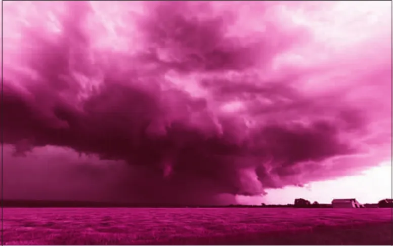
72 hours before landfall,the sky is dotted with cu mulus clouds(积云).The cirrus clouds(卷云)are visible in the sky,only 36 hours before landfall.People living in low-lying areas are now asked to leave their place.The dark clouds which are all set to bring heavy downpours can be seen 12 hours before landfall.
18 hours before landfall,it begins to pour.The rains are heavy and continuous till the hurricane stops.
Any hurricane warning signs should be taken seriously.If you live in areas which are hurricane prone(易于……的),then always be ready with the disaster preparation equipment.Being ready is the key to safety.
